Mount Kenya National Park Adventures
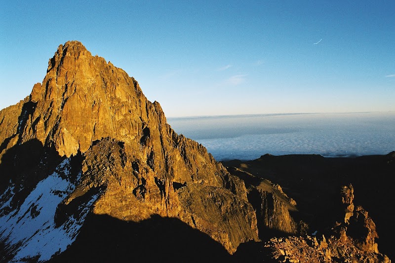
Mount Kenya National Park, located in central Kenya, is a UNESCO World Heritage Site centered around Africa's second-highest peak, offering diverse ecosystems and breathtaking alpine scenery for adventurers and nature enthusiasts.
Popular Activities
Plan Your Visit
Everything you need to know to prepare for an unforgettable trip to Mount Kenya National Park.
Entrance Requirements
Permits and entrance fees are required for all visitors.
Best Time to Visit
The best times to visit are during the dry seasons from January to February and August to September.
Visitor Information
Key visitor information and permits are available at the Mount Kenya National Park Gates.
Getting There
Main access is via the Naro Moru Route, accessible by 2WD, though some trails require 4WD vehicles.
Weather & Climate
Weather is defined by wet and dry seasons. The wettest months are from March to May, while temperatures fluctuate from freezing at night to daytime highs in the mid-60s (Fahrenheit) at lower elevations.
Conservation Efforts
Climate change threatens glacial retreat on the mountains, while illegal logging and poaching pose risks to forest integrity and wildlife populations.
Camping in Mount Kenya National Park
Find the perfect spot to stay overnight and immerse yourself in the details.
Old Moses Camp
Situated on the Sirimon route, it provides basic facilities for trekkers at approximately 3,300 meters elevation.
Shipton's Camp
Located near the base of the peaks, it's a popular base for summit attempts via the Sirimon route.
Top Trails
Naro Moru Route
A direct route to Point Lenana offering varied landscapes from forests through the 'Vertical Bog' to alpine meadows.
Chogoria Route
Scenic route known for the spectacular views of the Gorges Valley and tarns, considered the most picturesque way to the peaks.
Sirimon Route
Favored for its more gradual ascent, offering unrivaled wildlife viewing through forested trails.
Burguret Route
A less-traveled path for those seeking solitude and birdwatching opportunities in thick forest.
Trailblazer Tips
Acclimatization is critical; plan an itinerary that allows for gradual altitude gain.
The driest months from January to February and late August to September offer the best hiking conditions.
Permits are required and can be obtained at the park gates; carry your identification and park fees.
Pack layers, as temperatures can range from warm at lower elevations to freezing at higher altitudes.